GeoMaps Configuration
Contents
Basic Setup
Google Maps API url - to add a country bias to geocoding requests you can use the Google url for that country. For example: //maps.google.es, //maps.google.it, //maps.google.de.
Google Maps API Key - the key is optional, but it is useful for tracking usage of the API requests. Get a key here.
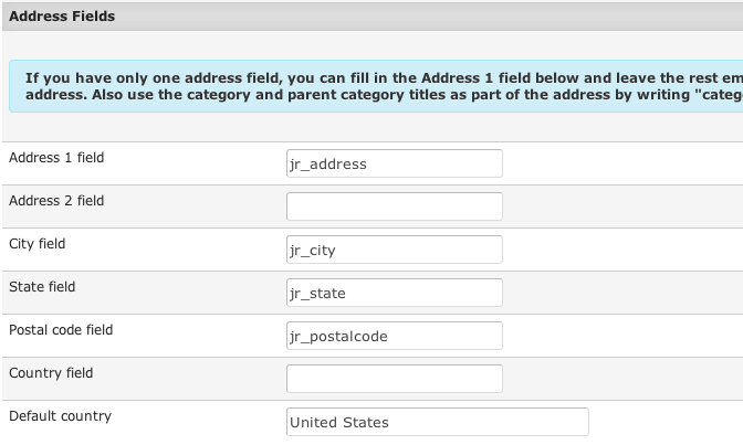
This is where you tell the GeoMaps add-on which custom fields of your listings contain address information. All custom fields that you enter here must be previously created in the JReviews Fields Manager.
Latitude and Longitude custom fields must be created as decimal fields in the JReviews Fields Manager. They are used to store latitude and longitude data, but it is not necessary to show those fields on the listing form or listing details. You can hide them from your site’s registered users by de-selecting the access groups from the field’s Add/Edit Access Settings in the Fields Manager. Important: The Latitude and Longitude custom fields should not have Currency Format enabled in the field settings.
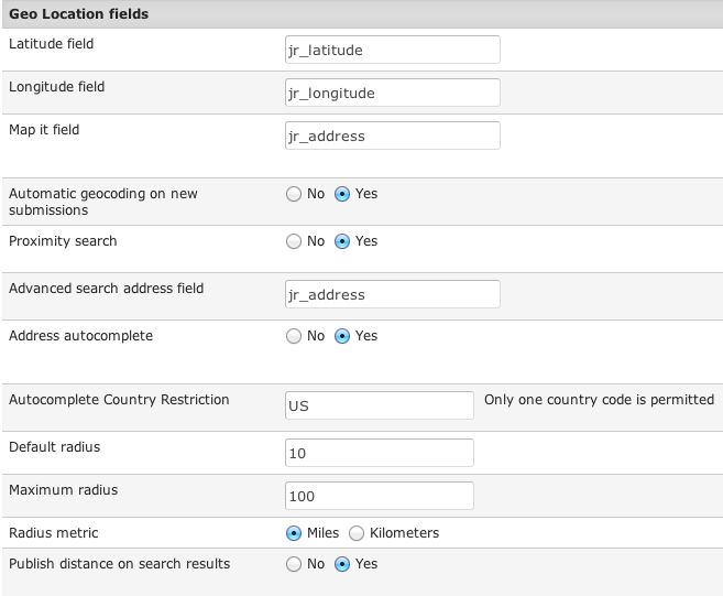
Map it field - a button will be appended to this field in listing forms. Clicking this button will automatically geocode the address and popup a map so the user can adjust the marker location.
Automatic geocoding on new submissions - by default a listing’s address will only be geocoded if the user submitting the listing clicks the Map It button. By enabling this setting you ensure that addresses are auto geocoded if the user doesn’t do it himself using the Map It button.
Proximity search - disabling this defaults to regular text searches on the address field.
Advanced search address field - tell the addon which field it should use for address searches in the JReviews Advanced Search Module. For instance, if you have a jr_address field, then you can add this field to the advanced search module as {jr_address} and when the user types an address in that field the addon will geocode the address to find nearby listings.
Address autocomplete - powered by the Google Places API and returns address suggestions that are NOT related to the addresses in your database.
Autocomplete Country Restriction - limits suggestions to the specified country only. Fill out the two letter code based on the ISO 3166-1 alpha-2 definition.
Maximum radius - puts a cap on the allowed radius search.
Publish distance on search results - if enabled, a Distance will be shown next to the custom fields in the listing details. If you want to customize the distance output, set this setting to No, and use this code in the theme file to output the distance:
<?php echo $CustomFields->field('jr_gm_distance',$listing);?>
Enable map on proximity searches - if disabled, the map will not be shown on the proximity search results page.
Proximity search results theme suffix - here you can enter a specific theme suffix for the search results list page.
Markers & Infowindow
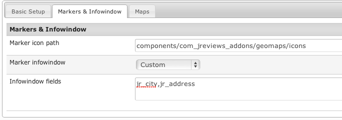
Marker icon path - enter the path where you want GeoMaps to look for marker images. GeoMaps comes with several images and you can upload additional ones to this folder. Default: components/com_jreviews_addons/geomaps/icons.
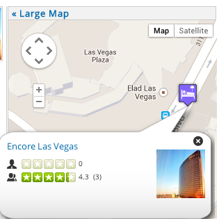
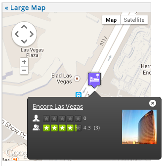
Marker infowindow - choose the marker infowindow you want to use. The infowindow is the popup with listing information that appears when you click on a marker. Available options:
- Google default - this infowindow can only appear within the map boundaries which makes it impractical for maps of small size.
- Callout
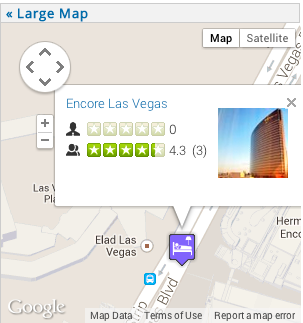
- Custom - this infowindow can be further customized through the infowindow theme files and css.
Example of a Google default infowindow:
Example of a Callout infowindow:
Example of a Custom infowindow:
Maps
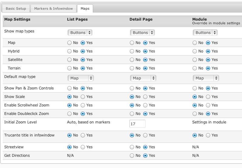
You can turn on and off all of the standard Google Map controls using these settings. All settings are global, but the ones for the GeoMaps module can also be overriden in the module parameters.

